Riverside sits at an elevation of 827 feet on the Santa Ana River plain. The groundwater table fluctuates significantly between dry and wet seasons. This combination of variable moisture and alluvial layering makes a soil mechanics study essential before any foundation design. We use ASTM D1586 for standard penetration testing and ASTM D2487 for soil classification. Before designing footings or slabs, we also run a georradar GPR survey to locate buried utilities and voids. Our team has completed over a dozen projects in Riverside, from warehouse slabs to residential hillside cuts. The data from our study directly informs bearing capacity and settlement estimates.
Collapse testing on undisturbed samples is mandatory for Riverside’s dry-raveling sands; ignoring it can lead to sudden differential settlement after first rain.
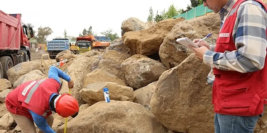
Method and coverage
We follow IBC 2021 and ASCE 7-22 for seismic site classification. Riverside is in Seismic Zone 4, so the soil profile type (A through F) governs the design spectrum. Our study includes:
Boring logs with N-values every 1.5 meters per ASTM D1586
Laboratory classification (Atterberg limits, natural moisture, dry density) per ASTM D4318 and D2216
Collapse potential testing on undisturbed samples — critical for the dry-raveling sands found near the river
We integrate these results with a MASW Vs30 survey to confirm the shear-wave velocity profile. This is mandatory for IBC site class determination in Riverside. Every report includes a signed statement by a California-licensed civil engineer.
Technical reference image — Riverside
Regional considerations
The Santa Ana River floodplain creates thin layers of loose silty sand over stiff clay. After a dry summer, the sand can collapse under load when wetted. This collapse mechanism is poorly captured by standard SPT alone. We run collapse-consolidation tests on undisturbed ring samples. If we detect collapsible strata, we recommend pre-wetting or deep compaction. Another risk is lateral spreading during an earthquake. The loose sands near the river are prone to liquefaction. Our study includes cyclic triaxial testing per ASTM D5311 when loose granular soils are present below the water table.
Continuous split-barrel sampling with SPT at 1.5 m intervals. We log soil type, moisture, and blow counts in real time. Hollow-stem auger rigs for depths up to 30 m.
02
Laboratory Testing Package
Grain-size distribution, Atterberg limits, natural moisture, dry density, collapse potential, and direct shear. All tests are run in a California-certified soils lab.
03
Seismic Site Classification
MASW survey to measure Vs30. Combined with SPT N-values, we assign the IBC site class (A through F) and provide the design response spectrum parameters.
How deep should borings be for a typical Riverside residential project?
For a single-family home on a slab-on-grade, we recommend borings to at least 6 meters (20 ft). If the house includes a basement or hillside cut, extend to 10–15 m to capture the full stratigraphy. Riverside’s alluvial layers can change abruptly within 5 m.
How much does a soil mechanics study cost in Riverside?
A standard study for a residential lot ranges from US$2,880 to US$6,020. This includes two borings, full lab testing, and a sealed report. Costs vary with borehole depth, number of samples, and site accessibility.
What is the typical soil profile found in Riverside?
Most sites show a top layer of silty sand (SM) or poorly graded sand (SP) about 3–6 m thick, underlain by stiff clay (CL) or silty clay (ML). Near the Santa Ana River, loose sand with cobbles is common. Groundwater is typically 6–12 m deep but can rise to 3 m after heavy rain.